
One of the arched structures on Dana Island

Dana Island, boatyard spur fixing section

Drone view of cisterns on Dana Island

The vaulted cistern in Dana Island (2)

Drone view of the boatyards on Dana Island

Drone view of the boatyards on Dana Island(2)

Drone view of the boatyards on Dana Island (3)

Drone view of the boatyards on Dana Island (4)

One of the cisterns on Dana Island

Inside view of one of the cisterns on Dana Island

The vaulted cistern on Dana Island
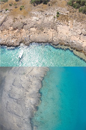
Dana Island is a small island in the eastern part of the Rough Cilicia region, near Silifke in Mersin, Türkiye.
It is located 2,300 meters from the mainland, measuring 2,700 meters in length, 900 meters in width, and 202 meters in height. Since the Bronze Age, the island has been an important site for international politics and trade due to its proximity to cedar trees in the Taurus Mountains and iron ore deposits in the Gazipaşa and Anamur regions. Numerous slipways from different periods have been discovered on the island, with 276 identified and documented so far.
The slipways of Dana Island are primarily rock-cut and classified according to their visible physical characteristics. Most were constructed side by side. Due to erosion, the front sections of some slipways have disappeared, while the rear sections facing the mainland remain intact. Additionally, unexamined rock-cut structures located behind large slipways may indicate special areas for service boats. Some slipways have also collapsed into the sea due to earthquakes.
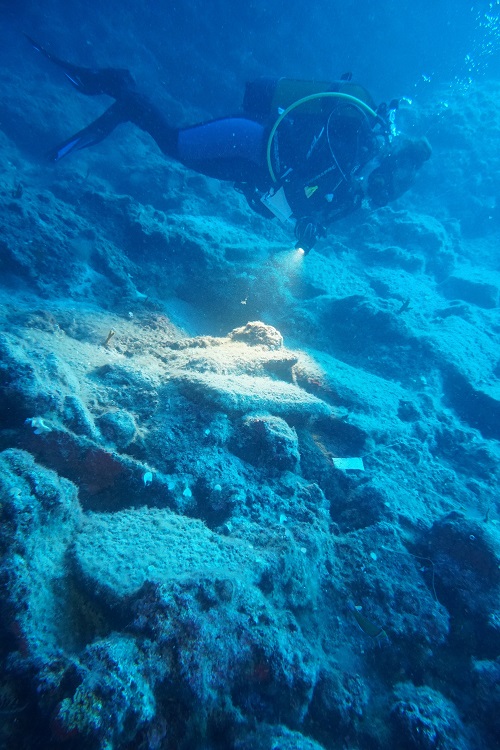
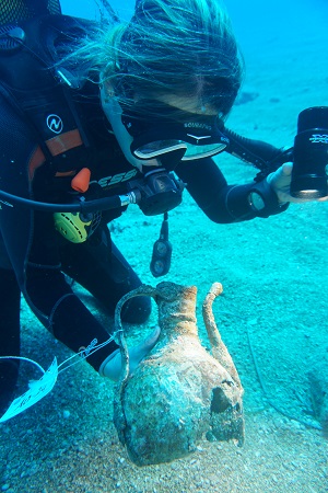
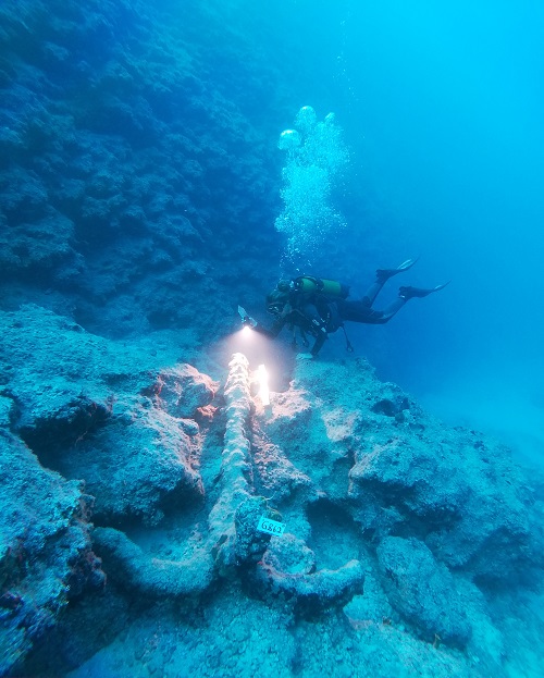
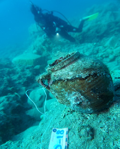
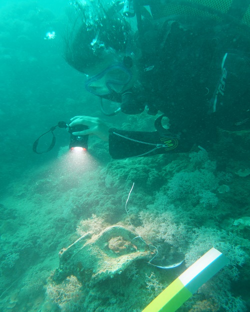
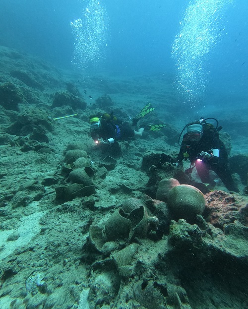
In recent years, archaeological studies and underwater surveys have been conducted in and around Dana Island, contributing to the establishment of an underwater cultural heritage inventory. The Arkeo Scientific Research Ship was used for these underwater research projects, involving underwater archaeologists and archaeology students, including master's students from UNESCO UniTwin Network Universities. The entrances to the island’s slipways were scanned using SCUBA diving equipment and sea scooters. Deepwater sites further from the coastline were explored using sonar and ROVs. Surveys on Dana Island and its shores will continue in the coming years.
Adana
Mersin
Hatay
Antalya
Kumluca Shipwreck
Idyros Ancient City
Dana Island
Ottoman Shipwreck
Besmi Shipwreck
Hacıvatburnu Shipwreck